

What is Ojo Panamá?
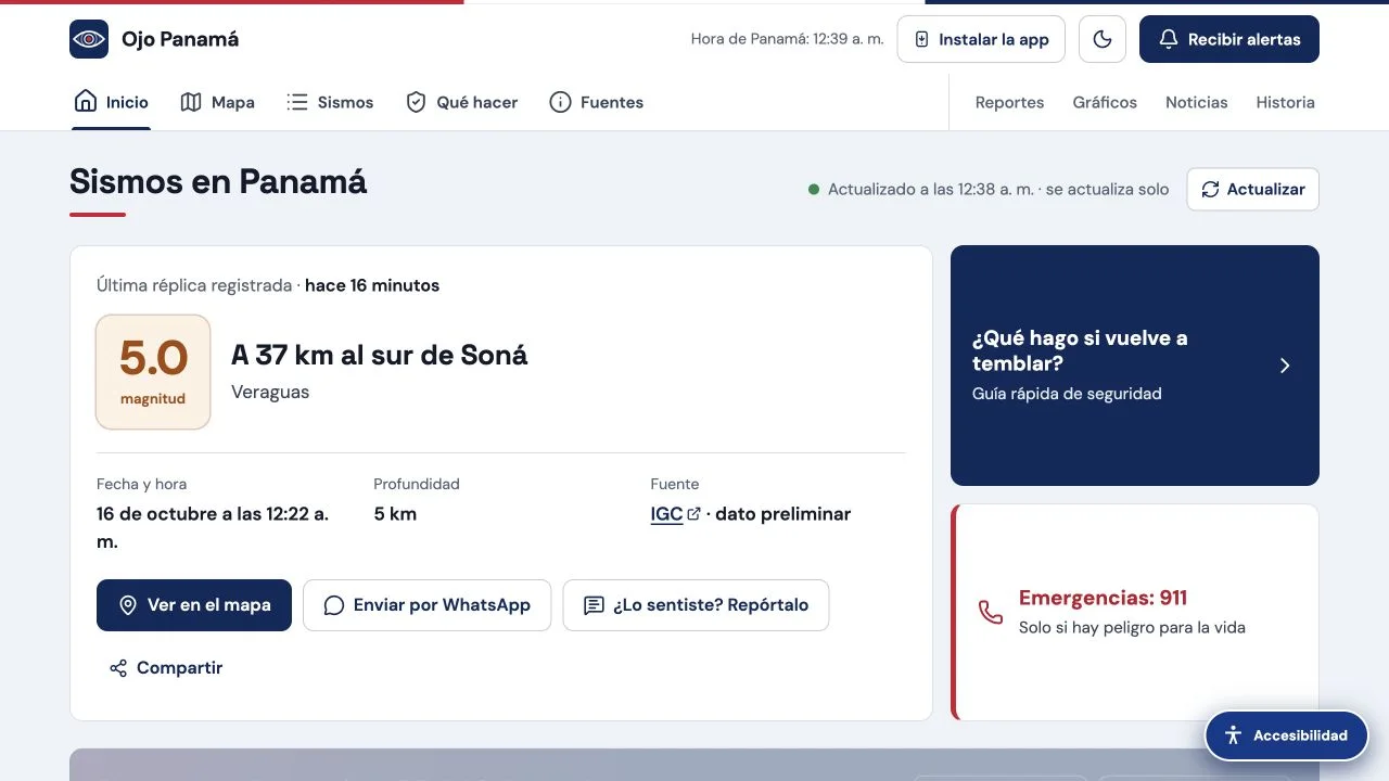
Ojo Panamá brings earthquake reports, map views, and source information together for Panama. Its public page identifies sources including USGS, IGC-UP, and EMSC. Treat the map as a way into the reports: the source and time of an event matter as much as where a marker appears.
What you can do
- Earthquake map and filters
- Reported-event views
- Links to scientific and official sources
How to get started
- Open the current ojopanama.com website.
- Check the period and location filters, then open a reported event.
- Follow its source and timestamp before interpreting or sharing the result.
Reading an earthquake report in context
Check the event time, location, magnitude, and reporting source together. Reports from different agencies may refer to different revisions of the same event. If a map looks empty, inspect the selected period and geographic filters before drawing a conclusion. Open the scientific source when you need to confirm a particular record.
Know the source of an update
The site links out to scientific and official organizations. Follow those links for the underlying report and use the appropriate official channel for emergency instructions.
Who it suits
Readers following reported seismic activity in Panama.
Before you start
The site says it does not replace official notices or predict earthquakes. A blank or loading map is not evidence that no earthquakes occurred.
Common questions
Is this Sismo Panama Vercel App?
Ojo Panamá is the current destination recorded for that older search name. Use the listed ojopanama.com address.
Does Ojo Panamá predict earthquakes?
No. Its own public notice distinguishes earthquake reports from predictions and official emergency notices.
Sources and review scope
Current map interface, source list, and public notice checked; alert delivery not tested.